Before going to sea, many athletes and sailors, fearing thunderstorms, check CAPE. Why? Let's see.
CAPE - Convective Available Potential Energy - reflects the presence in the atmosphere of a certain amount of energy that can be used for convection.
Reminder.
Convection is the rise of heated warmer air surrounded by cooler air. Warm air is lighter than cold air, so it is displaced upwards.
The more available energy that can be used for convection there is, the more intensive convection will be.
More intensive means faster and higher. High CAPE values indicate a high rate of convection development.
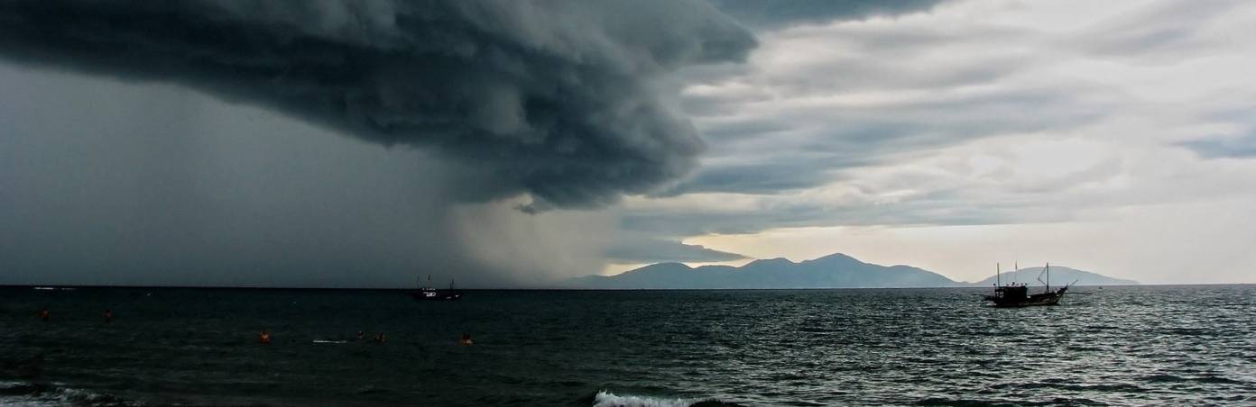
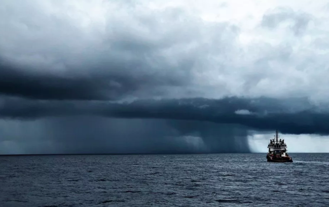
With high vertical speed and large moisture reserves, a cloud is able to grow and develop to a high altitude. During convection, Cumulus and Cumulonimbus clouds are formed.
Heavy rainfall and thunderstorms are associated with powerful Cumulonimbus clouds.
So, the CAPE value will give you information about the intensity of convection possible at a particular point in the atmosphere today. See the decryption of the index below.
You will encounter the concept of 'instability', which is similar to 'convection' in meaning. If there are no vertical movements in the air, they say that the atmosphere is stable. If convection is observed, the atmosphere is unstable.
Here we have described very clearly the stable and unstable atmosphere. The more unstable the atmosphere is, the more intensive convection can develop.
Probability of convection of a certain intensity according to CAPE:
But... There is one 'but'.
It is not always possible to predict convection and thunderstorms using just the index, it is also often necessary to know the synoptic situation: if there is a cyclone or anticyclone, and other details.
The synoptic situation influences the development of convection, while convection itself can influence the synoptic situation.
For example, this happens in the tropics: in the center of a tropical cyclone, there is always the strongest convection, and if somewhere nearby (because of the strong heat) even more powerful convection appears, this area becomes a new center of the cyclone. This is how a cyclone moves, and as it moves, the synoptic situation changes.